The Grove Hill site is in an accessible location adjacent to Stonnall, a large village situated on the boundary between Lichfield District and Metropolitan Borough of Walsall. It is located approximately 7km south-west of Lichfield, 8km from Walsall, 17km north of Birmingham city centre and 4.5km from the station at Shenstone.
The Site covers some 31 hectares in area and comprises a number of agricultural fields separated by hedgerows with occasional hedgerow trees. The Site is irregular in shape with well-defined external boundaries.
The A452 (Chester Road) and a strong hedgerow form the south-west boundary of the site. To the south-east the boundary follows a field margin and the perimeter of commercial land that fronts onto Chester Road. Church Road and the rear gardens of dwellings at Thornes make up the eastern boundary. To the north is a small agricultural field and public open space consisting of open amenity grass, boundary hedgerows and trees, a fenced children’s play area, a football pitch and a skate park. The western perimeter of the site is bounded by rear gardens of dwellings on Main Street and a stables and paddock in the south-west corner of the site. Site permeability is provided by public rights of way that pass through and near the site.
The site slopes upwards from its northern edge towards a high point ‘Grove Hill’ in the southern part of the site. A single tree is located at the top of Grove Hill which is a distinctive feature in the landscape. From Grove Hill the ground falls gently east towards Church Road.
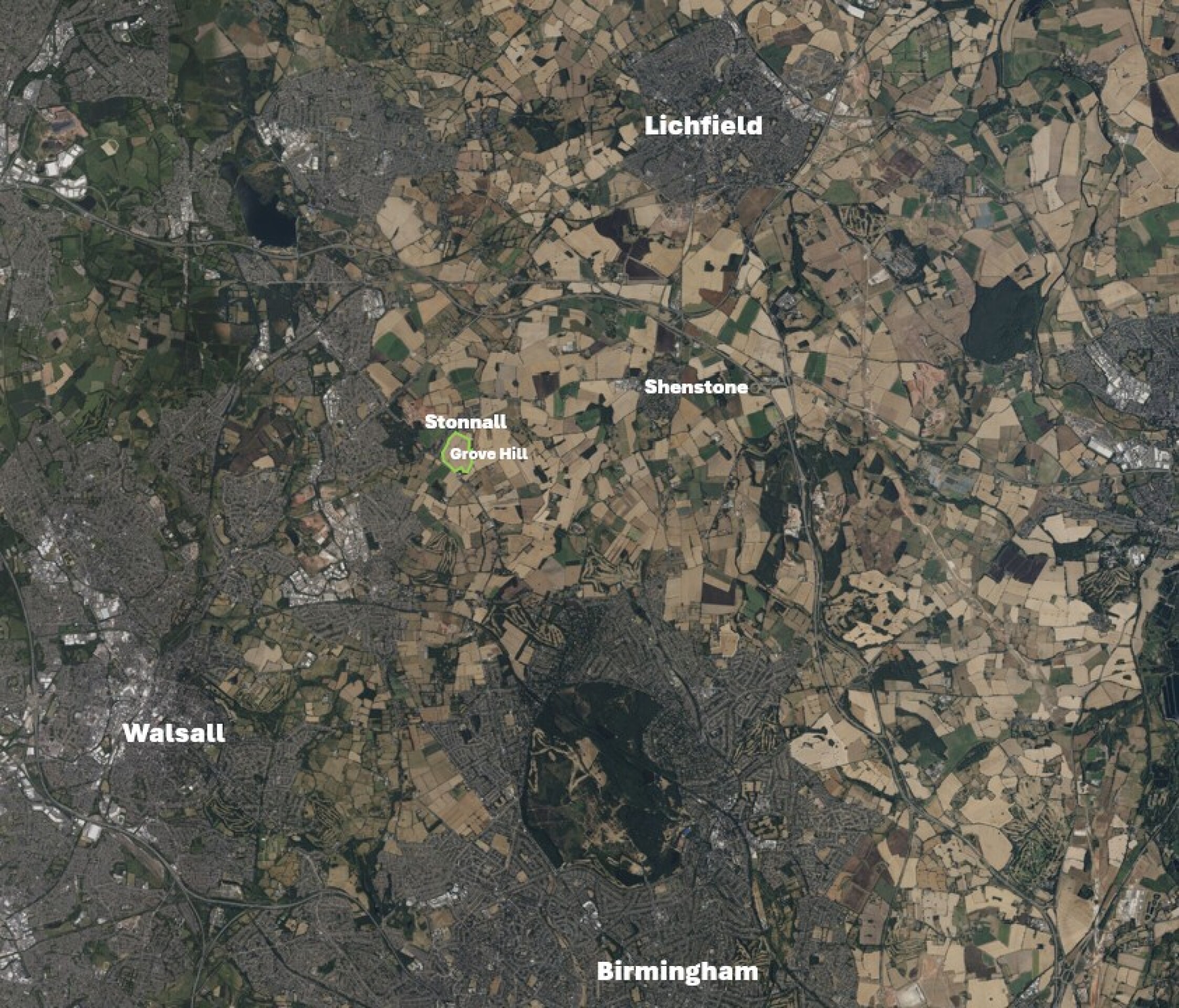
Site location plan - click to enlarge